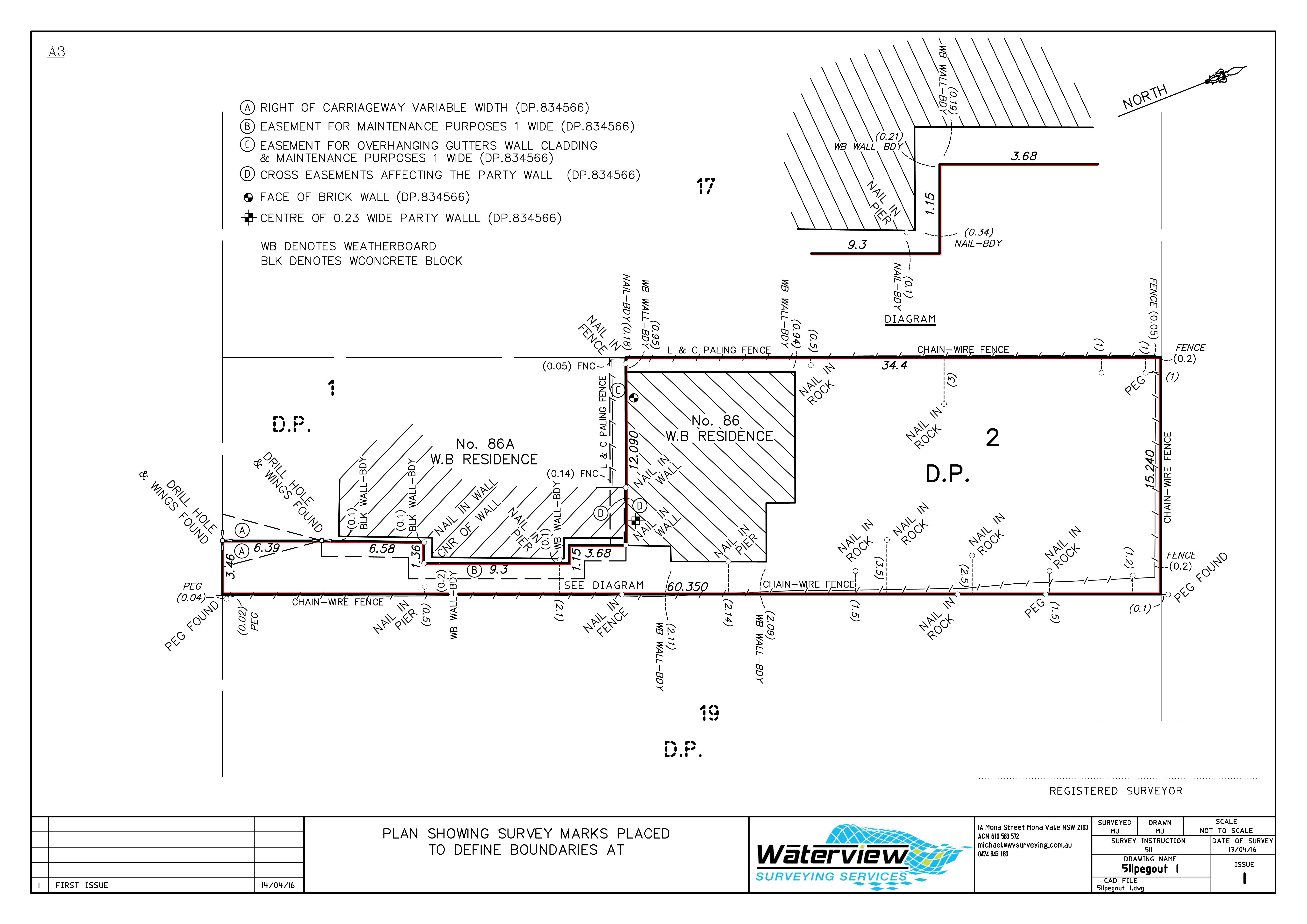
Boundary Marking Surveys
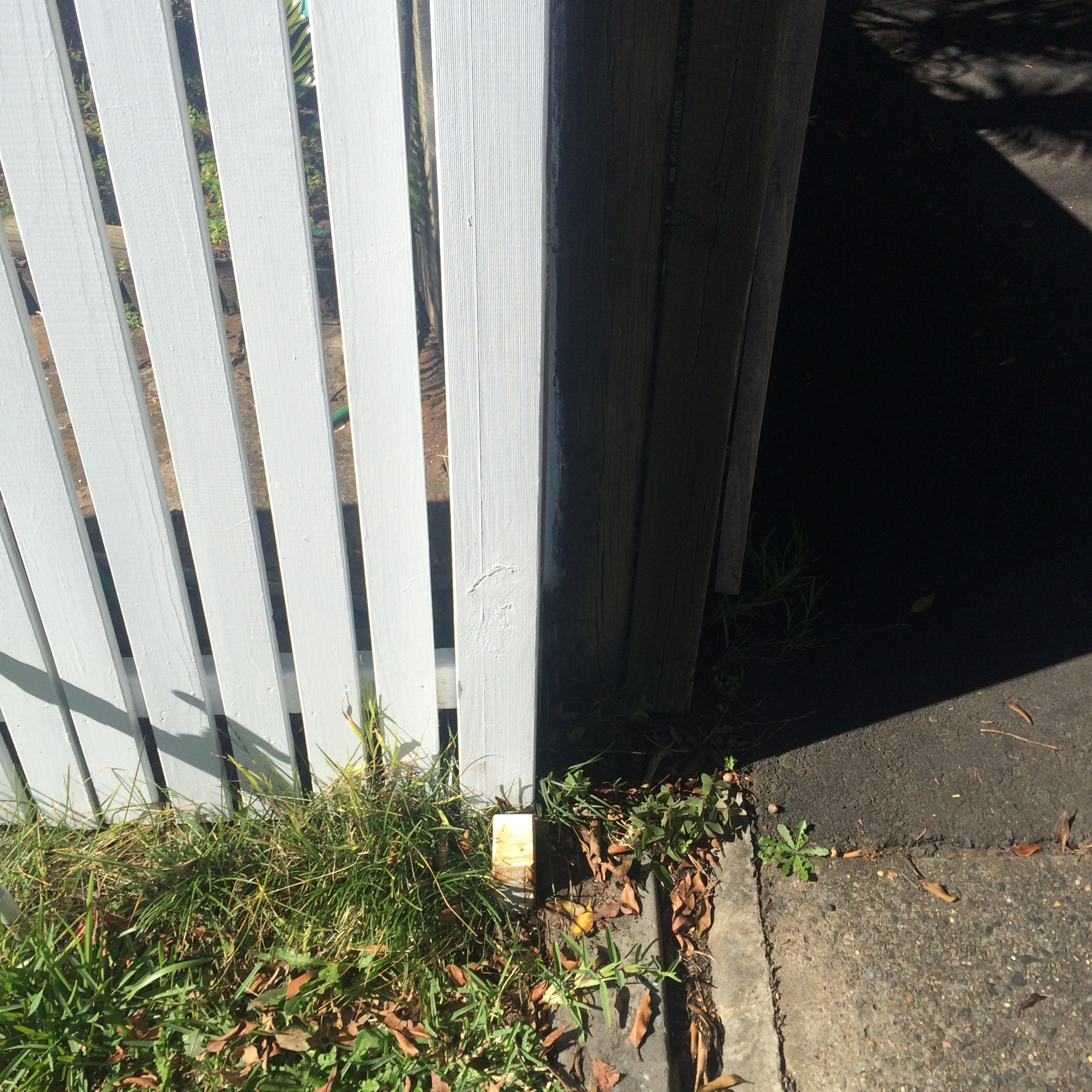
Probably what most people think about when they think of a land surveyor.
Boundary marking involves ordering land title diagrams (deposited plans) held on public record, measuring to survey reference marks, making calculations to determine the positions of the boundaries and placing marks on or offset to the boundary. This process varies significantly by area depending on the amount of survey information held on public record and can only be performed by a Registered Surveyor.
Contact Waterview Surveying Services for a free quotation today.