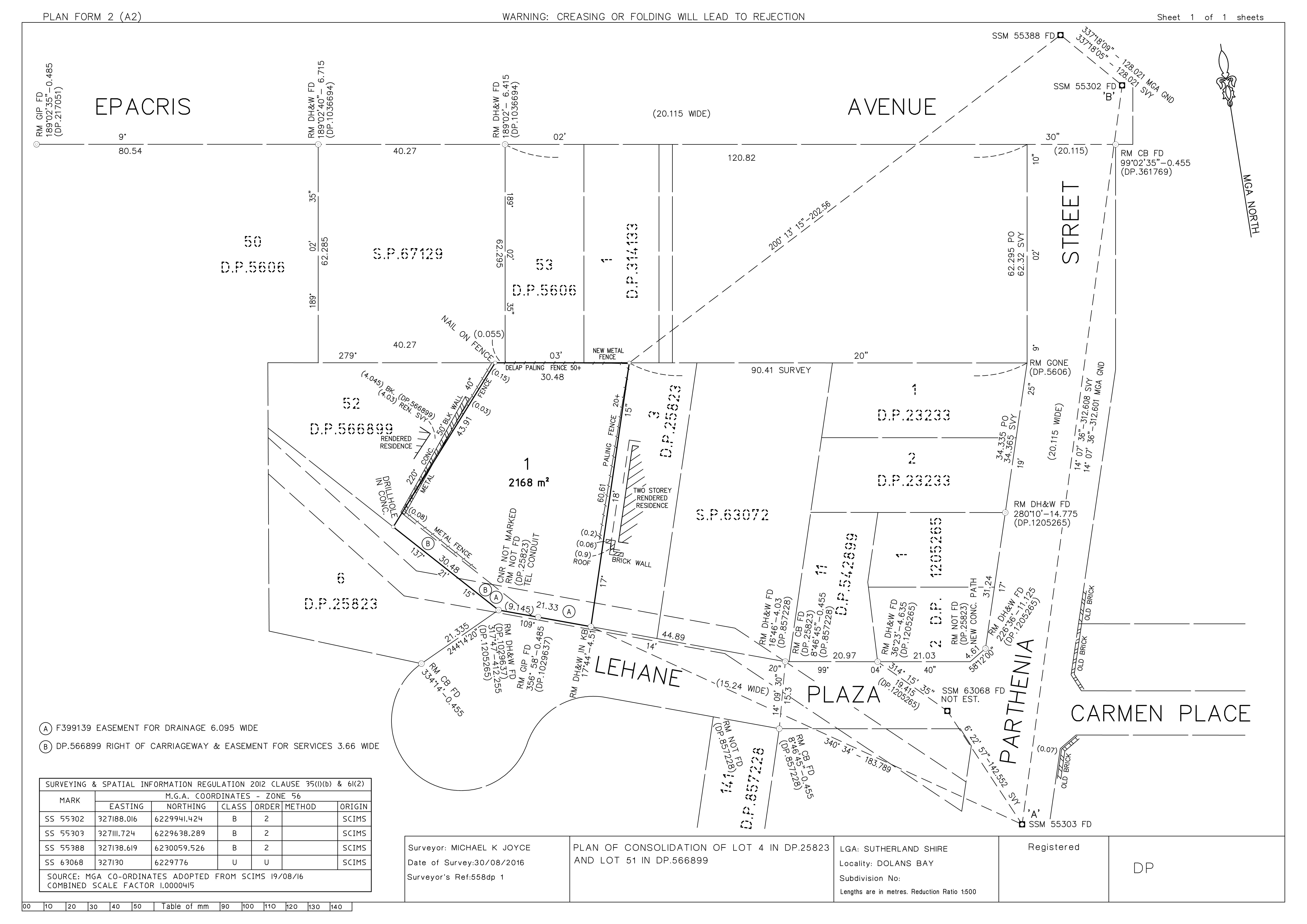
Land Subdivisions, Redefinition, Consolidation Surveys
The land contained within a land title in NSW is defined by a title diagram or deposited plan (DP). The surveys to define the land and the preparation of the plan document are prepared to strict legislative guidelines and can only be prepared by a Surveyor registered in NSW.
Land subdivisions, redefinitions and consolidations are registered on public record and form the title diagram for land.
Subdivision Surveys are prepared to subdivide land into two or more parcels or to adjust a boundary between two separate parcels. A land subdivision requires the consent of the local Council either by DA or by Complying Development Certificate (CDC) (for minor boundary adjustments). Waterview Surveying can work alongside your chosen town planner or prepare the DA documents and deal with Council on your behalf.
A survey to prepare a plan of redefinition may be required prior to strata subdivision, to re-define a natural boundary such as mean high water or may be required due to ambiguities in the underlying Title diagram.
A survey plan of consolidation consolidates multiple land parcels into one and are often required as part of a larger style development.
Contact Waterview Surveying Services for a free quotation today.
